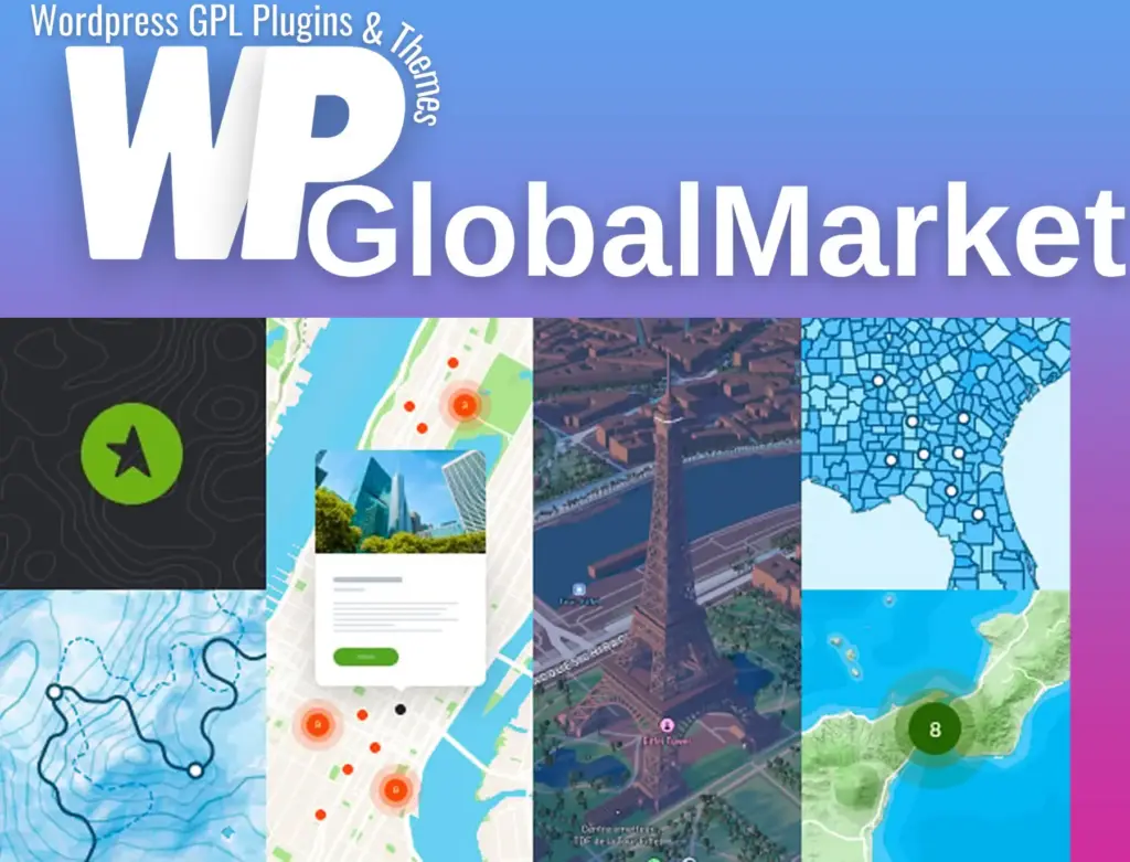
Treweler – Mapbox Maps Builder Plugin for WordPress
100% Original Content
All our products are 100% original and obtained directly from the respective developers. We do not modify, alter, or inject any code, ensuring you receive authentic, untouched premium files for your professional projects.
Safe & Secure Files
Your security is our top priority. Every file in our library is scanned daily using advanced premium security tools to guarantee they are 100% free from malware, viruses, or hidden scripts that could harm your website.
Lifetime Updates
Never worry about your website becoming outdated. Once you purchase, you receive access to all future versions and updates. You can easily track and download new releases directly from your personal dashboard.
GPL Licensed & Legal
All items are distributed under the General Public License (GPL). This provides you the legal freedom to use these official products on as many websites as you wish without any restricted domains or limitations.
Product Description
Treweler is a versatile and powerful WordPress plugin designed to help you create and manage custom maps for your website using the Mapbox web mapping platform. It allows for a highly personalized mapping experience, perfect for both personal and business use. With a range of features and integration with Mapbox, Treweler offers the flexibility to customize maps in numerous ways, from the look and feel to the functionality and user interactions.
Complete Features List
Map Features
- Mapbox Integration: Fully compatible with WordPress and Mapbox for seamless map creation.
- Multiple Map Creation: Create and manage unlimited maps with ease.
- Shortcode Support: Publish maps anywhere on your site using shortcodes.
- Pre-Installed Map Styles: Choose from a selection of built-in map styles, including Mapbox Standard with 3D environments.
- Custom Style Creation: Design your custom map style via Mapbox Design Studio.
- Layer Control: Hide or show layers for both standard and custom map styles.
- Geographical Center and Zoom: Set initial map center and zoom levels, with the ability to adjust zoom and view range.
- Restrict Zoom & Panning: Limit zoom levels or disable map panning altogether.
- Map Controls: Customize map controls such as Distance Scale, Fullscreen, Search, Zoom, Geocoder, and Geolocation.
- Geolocation: Automatically display the user’s location or use the geolocation control for manual location fetching.
- Progress Preloader: Add a custom preloader with your logo and text that displays while the map is loading.
- Custom Overlays: Add color overlays to the map to enhance visibility.
- 3D Terrain and Buildings: Enable 3D terrain and building displays with custom Mapbox Studio styles.
Markers & Popups
- Multiple Markers: Add unlimited markers to your maps, including custom markers.
- Marker Styles: Choose from a wide range of built-in marker styles or use your own custom images.
- Marker Clusters: Display large numbers of markers with clustering for better organization.
- Popup Customization: Customize popups for markers, including the ability to control visibility and display behavior.
- Interactive Tours: Create guided tours with two animation options (Jump or Fly), and control flight speed, curve, and zoom.
- Customizable Markers: Upload images, use Google Material icons, and create marker templates for easy replication.
Routes
- Route Management: Create and manage any number of routes, with custom styling options.
- Route Drawing Tools: Use tools to draw routes in different modes (driving, walking, cycling) and customize line colors, widths, and opacity.
- Import Routes: Import routes from GPX files for easy integration.
Countries & Regions Boundaries
- Custom Boundaries: Build and customize boundaries for countries, regions, and continents.
- Region Hover Effects: Display additional information on hover, such as region names and custom values.
- Polygon Styling: Customize the appearance of region boundaries with fill colors, opacity, and stroke settings.
Marker Locator
- Sidebar Listings: Display a sidebar with a list of markers, including custom fields and detailed descriptions.
- Geolocation-based Display: Show markers based on the user's location or proximity to selected areas.
- Custom Sorting: Sort markers by distance, and allow users to filter based on location and custom fields.
Filters & Filtering
- Custom Filters: Add filters based on custom fields, marker categories, or distance.
- Filter Panel: Display the filter panel on demand or immediately when the map loads.
- Reset Filters: Include a button to reset all filters for easier navigation.
Shapes & Drawing Tools
- Custom Shapes: Add shapes like lines, polygons, and circles to the map.
- Bezier Curves: Draw and edit bezier curves for more complex shape creation.
- Shape Styling: Customize shapes with fill color, opacity, stroke width, and more.
Marker Templates Builder
- Marker Styles: Create reusable templates for marker styles, popups, and text labels.
- Custom Fields: Add custom fields to popups and marker locators for better data presentation.
Custom Fields Builder
- Expandable Information: Add custom fields to marker popups, allowing for additional data such as text, links, emails, buttons, and more.
- Field Types: Support for text, links, phone numbers, audio players, and custom HTML fields.
- Field Management: Organize and edit custom fields within templates.
Marker Importer
- Google Sheets Integration: Import marker data from Google Sheets, allowing easy data management.
- Import Custom Fields: Map custom field data during the import process for seamless integration into your map.
Why Choose Treweler?
Treweler is a comprehensive solution for creating custom, interactive maps on WordPress websites. Whether you need to display a series of locations, offer an interactive tour, or create custom routes for users to follow, Treweler makes it easy to manage and present geographical data in a visually appealing way. With advanced features like custom markers, geolocation, route management, and filtering, Treweler is perfect for businesses, personal projects, and anyone who needs a dynamic map solution integrated into WordPress.
Best-Selling Products
View All