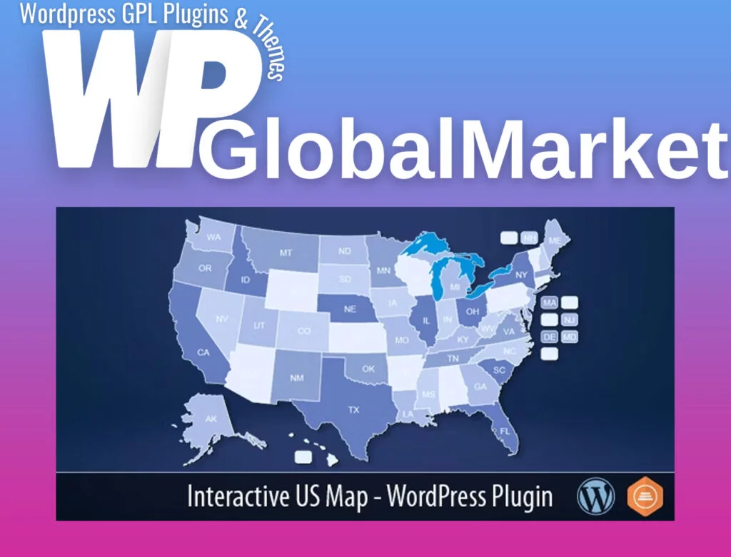
The Interactive US Map plugin offers an effortless way to install and customize a professional-looking interactive map of the United States on your WordPress website. This map includes clickable states, allowing users to interact with it easily. Here are some of the key features and recent updates:
Key Features:
- Interactive Map: Display a map of the United States with 50 clickable states and the District of Columbia.
- Shortcode Integration: Insert the provided shortcode into any page or post to showcase the interactive map.
- Customization Options: Easily customize the appearance of the map to suit your website’s design and color scheme.
Changelog:
- March 23, 2023 (V2.7):
- Added the option to choose the color of abbreviations on hover.
- Set the opacity of the abbreviation of an inactive state to 50%.
- July 23, 2022 (V2.6):
- Added checkbox option to hide lakes, Alaska, Hawaii, and DC.
- Allow hiding tooltips for some or all states by removing hover information.
- Updated plugin script.
- July 11, 2021 (V2.4):
- Support for using multiple maps on the same page.
- Fixed scroll issues with touch devices.
- Improved map loading behavior in the frontend.
- Script and styling enhancements.
- October 23, 2019 (V2.3.x):
- Integrated the map with 3rd party popup plugins, tested with Popup Maker “free.”
- June 19, 2019 (V2.2.x):
- Restyled the hover popup.
- July 19, 2017 (V2.2.0):
- Added “Bulk Edit” option.
- Upgraded the map SVG graphics and changed the map shortcode.
- Upgraded the plugin script.
- Fixed the apostrophe bug (requires removal of the old plugin and re-installation of the new one).
- December 10, 2016 (V2.0):
- Added multiple maps option.
- November 8, 2016 (V1.x):
- Minor edits to the plugin scripts.
- February 10, 2015:
- Initial release.
The plugin allows you to enhance your website with an interactive map, providing users with an engaging experience while navigating through the United States.


